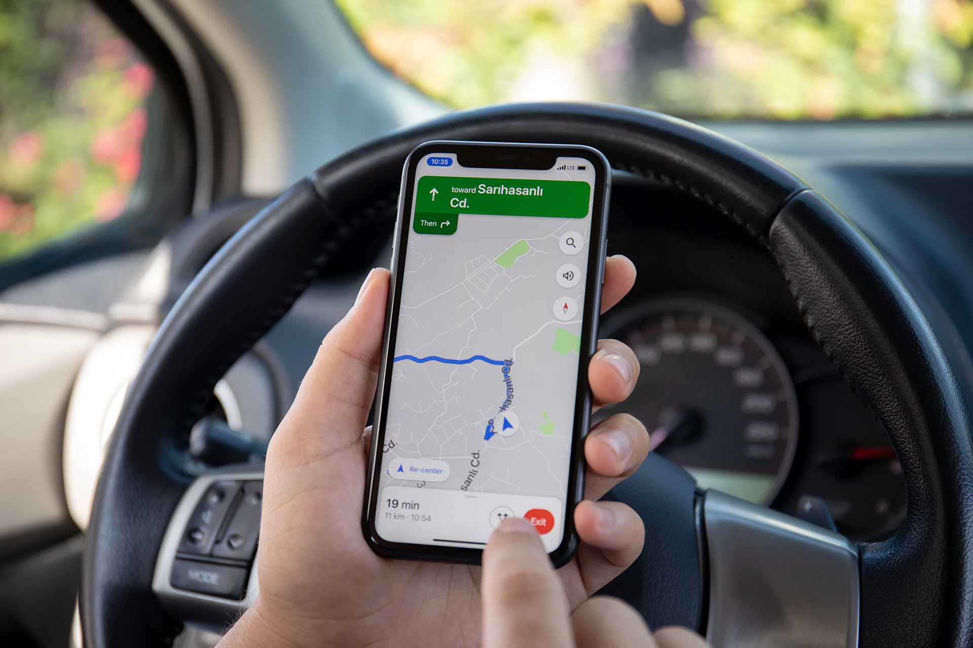
Google maps now integrates Waze incident reports
With the addition of incident reports from Waze, Google Maps has added a new function that improves navigation in real time. The function lets users view Waze-sourced reports of road conditions, including speed cameras, police presence, and road closures. Through the app's prompts, users may also actively verify these conditions, assuring other drivers accurate and current information.
This move comes after Google disclosed plans in July to share data across the two applications in an effort to enhance both platforms. Waze's thorough road condition reports, which are now showing up in Google Maps to offer additional navigation support, are among the shared data.
A Reddit user showed this integration over the previous weekend by posting a screenshot of a Waze-sourced "Police reported ahead" warning. Users can update or confirm the status of these reports to reflect the current situation, just like they can with other Google Maps notifications.
Even though this is one of the first times consumers have discovered the function, it is anticipated to spread to a greater extent. Google has stated that Maps and Waze will remain independent applications in spite of this partnership. Google's group project manager, Can Comertoglu, said that Waze's distinctive features, which set it apart from Google Maps, are valued by its sizable community of over 500,000 contributors. Likewise, a lot of Google Maps users prefer its unique features.
This change demonstrates Google's attempt to improve user experience across both apps by utilising the advantages of both platforms while keeping their individual identities.
 land
land